The end of World War I welcomed a new era in New York.
The 1920s was an era of contradictions for New York as a modern industrial city that, with engineering feats of wonder, had conquered the sky and constructed a hidden network of water lines, sewer lines, and power lines below the ground. In the 1920s the gap between the City's infrastructural capacity and its population once again widened. The City's roadways did not keep pace with the rapidly increasing popularity of the automobile.
Between 1918 and the end of the 1920s, there were more than a half a million new motor vehicles on the streets yet there had been no new highway construction within the City, choking the City with traffic. The Depression brought an end to construction of a West Side Highway, begun in 1927, and the Triborough Bridge, begun in 1929.
Yet the end of the 1920s and early 1930s did open the City to more traffic. The Holland Tunnel opened in 1927 and the George Washington Bridge in 1931. Like the roadways, development of parks lagged far behind the booming population. Land reserved for parks in Brooklyn was rented to commercial enterprises. Central Park-the gem of the City-fell into disrepair.
The 1920s represent the current end of this project, but it was the dawn of a new era of vast changes to the relationship between health and the built environment as Robert Moses transformed New York City's highway and parks systems.
Take a look at these vintage photos below to see how New York City has changed from the 1920s.
 |
| A street scene in Canarsie, Brooklyn, 1920 |

|
| Father and daughter take in the scene at the Riverside Park boat club in the Hudson River, 1920 |
 |
| Fifth Avenue toward Washington Square, 1920 |
 |
| Fish store at 57th and 10th Ave, 1920 |
 |
| Horse carts and trucks near the Battery, 1920 |
 |
| Wyckoff Street looking east at Nevins Street, Brooklyn, 1920 |

|
| A lone policeman guards the end of the trolley line on Roebling Street at the Williamsburg Bridge plaza, Brooklyn, 1921 |

|
| Columbus Circle in 1921 |
 |
| Atlantic Ave looking west from the Sackman St bridge, Brooklyn, 1923 |
 |
| Columbus Circle, New York, 1923 |
 |
| Fifth Avenue, 120th Street to Mount Morris Park, Harlem, 1923 |
 |
| The SS Leviathan of United States Lines and Singer Building, 1923 |
 |
| Buses and taxis on Fifth Ave., 1924 |
 |
| Lincoln Place toward Washington Ave in Prospect Heights, Brooklyn, 1924 |
 |
| Luna Park on a busy weekend looking north along Jones Walk from entrance on Surf Ave, Coney Island, Brooklyn, 1925 |
 |
| An endless stream of 1920s cars and buses line up to take a ride through the brand new Holland Tunnel on opening day, 1927 |
 |
| Blake Ave. from east 98th St. toward Union St., Brooklyn, 1927 |
 |
| The Barclay-Vesey building (NY Telephone, later called Verizon) from the Hudson River, 1927 |
 |
| TImes Square in 1927 |
 |
| West 77th Street, New York, 1927 |
 |
| An aerial view of New York City, 1928 |
 |
| Coney Island, 1928 |
 |
| Lower Broadway ticker-tape parade, 1928 |
 |
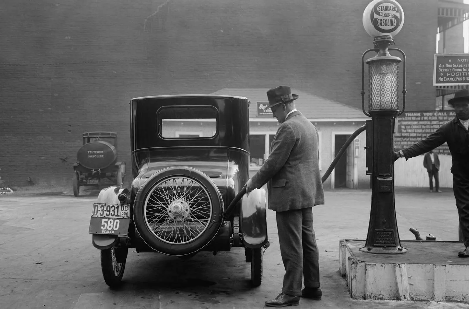
| Socony gas station specializing in Dodge and Studebaker, Brooklyn, 1928 |
 |
| 5th Avenue and 57th Street, 1929 |
 |
| 42nd Street, Manhattan, 1929 |
 |
| Avenue M and Chestnut Avenue, looking east from East 13th St., Brooklyn, 1929 |
 |
| Cleaner sweeping the floor after the Wall Street crash, 1929 |
 |
| Pitkin Avenue looking west from Pennsylvania Avenue, Brooklyn, 1929 |
 |
| Utica Ave. (with virtually nothing built on its sides) looking south to Maple St. from east New York Ave., Brooklyn, 1929 |

|
| Wall Street investor tries to sell an automobile, 1929 |


